
MIDWEST — After four major public grants over three years, efforts to build a public trail and install interpretive signage are underway at the Grand Meadow Chert Quarry Archaeological and Cultural Preserve in southeastern Minnesota. Through a special partnership between The Archaeological Conservancy, the Mower County Historical Society, and the Dakota Community at Prairie Island, The Wanhi Yukan Trail will be a self-guided walking tour with signage in both Dakota and English. “Wanhi Yukan” means “there is chert here” in Dakota. The Preserve, a 15-acre remnant of the original 175-acre open-pit chert mine, was purchased by The Archaeological Conservancy since the site was placed on the National Register of Historic Places in 1994.
The Grand Meadow Chert Quarry was once a remarkable landscape with an estimated 2,000 pits and trenches dug through prairie soils to acquire a particularly high-quality gray chert, found at sites throughout Minnesota and in adjacent states. The oldest known use of Grand Meadow Chert is a spear point found at a bison kill site in western Minnesota, dating to 8,000 years ago. The chert from this location was a particular favorite among Tribal communities in the Oneota Cultural Sphere, when it was commonly used to make hide scrapers and small triangular arrow points.
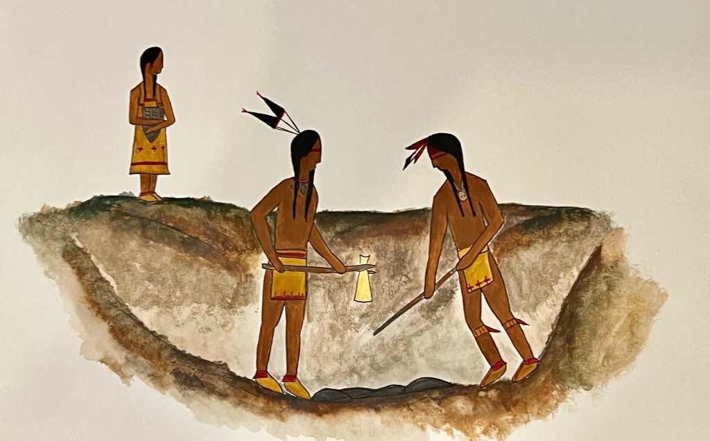
Within the preserve, there are nearly 100 pristine quarry pits, untouched since the last pit was created more than 400 years ago. The quarry pits were mostly likely dug by workers using a chert knife to cut the sod, followed by a digging stick to loosen the soil. Dirt would then be raked, using a hoe made of a bison scapula, into baskets for carrying the dirt away. Most often at this chert quarry, the dirt was carried to the rim of the pit, but occasionally it appears that they may also have simply filled in a nearby abandoned pit.
Through state and county grants the partnership has produced a Cultural Landscape Report; designed an interpretive plan with Dakota advisors; begun a six-year effort to restore the original oak savanna and prairie habitats; and created the plans for parking and building the trail. Organizers are also fundraising for an endowment to support the annual maintenance of the Wanhi Yukan Trail in perpetuity.
“We are especially pleased to have had the invaluable participation of our Dakota partners throughout this project. Ultimately, our goal is to provide a unique experience for the youth from all six descendant tribal communities whose ancestors dug these pits, in addition to educating local students and the general public,” Project Coordinator and Lead Archaeologist Tom Trow said.
Recently, Hamline University brought its 2023 field school to the preserve and initiated a Ground Penetrating Radar (GPR) survey in both the converted prairie and within the woods of the preserve. The hope is that by working with GPR over known buried pits, a typical profile will emerge to help identify the exact location of other former pits, thereby reducing the amount of subsurface testing needed to determine the actual size of the original chert quarry.