
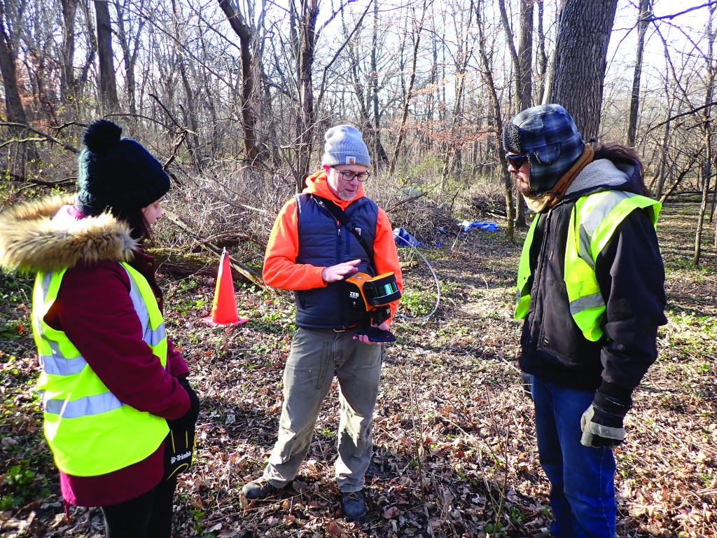
MIDWEST—In November 2021, a hand-held LiDAR survey was conducted at the 1840s Hewitt-Olmsted Trading Post site, one of two Conservancy preserves in Iowa. One component of the site represents the only known Ho-Chunk/ Winnebago ridged agricultural field in the state, and one of only three remaining ridged fields of any age in Iowa.
Due to its proximity to a state highway, the site is listed on the Iowa Department of Transportation’s (Iowa DOT) Statewide Historical Sites Inventory and Management Plan, and inclusion on the plan means the Iowa DOT assesses the site area and plans for its continued preservation. The LiDAR survey was a collaborative effort conducted by the Iowa DOT, the Iowa Office of the State Archaeologist, the Winneshiek County Roadside Management Crew, and the Fort Atkinson Historic Preservation Commission. The descendant Native communities were made aware of this research.
The LiDAR survey sampled a portion of the one-acre ridged field and, after careful removal of brushy vegetation, the LiDAR clearly identified the ridges. (Unlike airborne LiDAR, handheld LiDAR doesn’t penetrate dense vegetation.) The survey establishes a highly accurate baseline for ridged field sites in Iowa, and it is one of only a handful of LiDAR surveys of ridged field sites.
This survey aids in site management, enabling future researchers to understand erosional rates and to assess the impacts of inadvertent disturbances, such as a derecho that uproots trees. It also provides new data to better understand how the landscape was used by the site’s occupants. Officials with the Conservancy and the State of Iowa are continuously looking for ways to improve our understanding of places like the Hewitt-Olmsted Trading Post site through low and no impact technologies like handheld LiDAR.