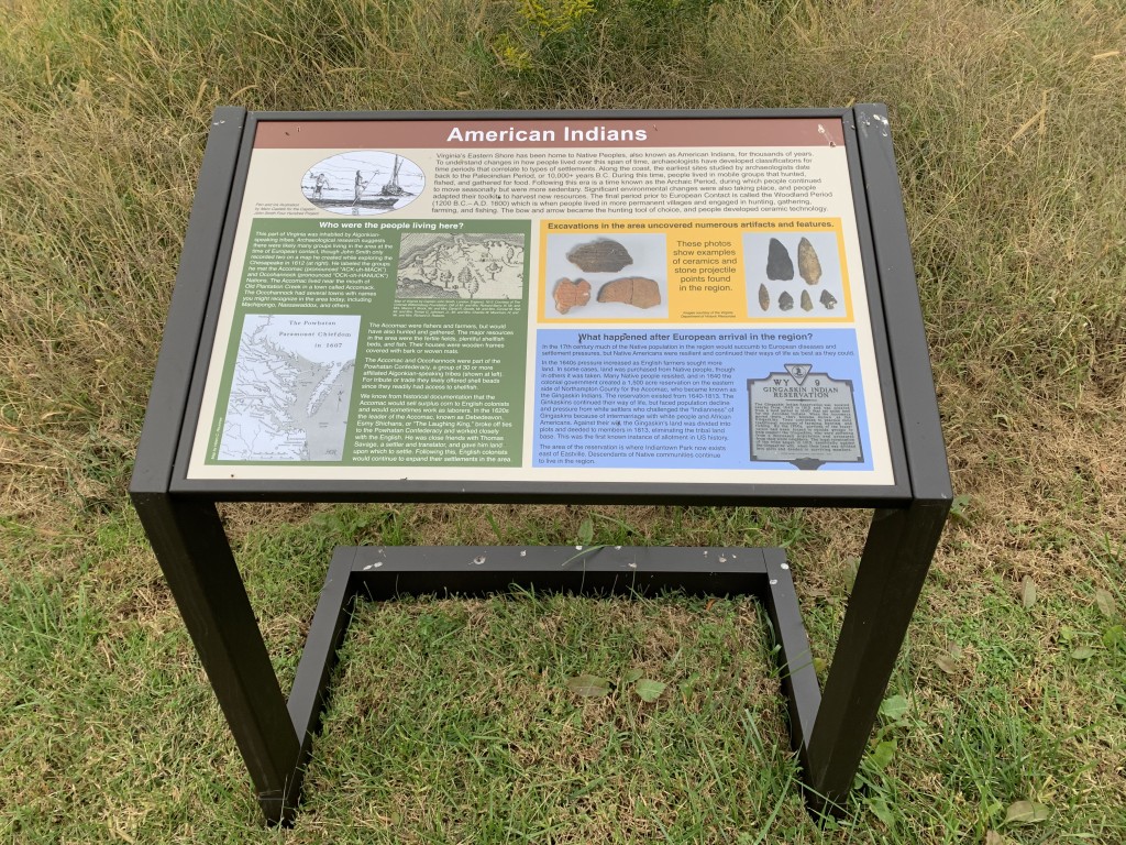
EAST—The Archaeological Conservancy completed the design and placement of new entrance signage and five interpretive panels this fall at the Arlington Sites Preserve in Northampton County, Virginia. The informational displays cover a broad span of history, as archaeological research on the property has demonstrated there are deposits dating from pre-contact Native American settlement through the 19th century. In particular, the property may contain the remains of an Accawmacke village that John Smith recorded on his 1812 map of the Chesapeake Bay, as well as deposits associated with the earliest English settlement on Virginia’s Eastern Shore in 1619.
The most well-known occupation of the site dates to when it was owned by the Custis family, who built Arlington Mansion on the site in 1674. This would later become the namesake for Arlington National Cemetery. The wives of George Washington and Robert E. Lee were Custis family members. Another panel details archaeological excavations that have taken place on the property.
The Conservancy is grateful to have received a $15,000 grant from the Eastern Shore of Virginia Community Foundation to have the signs designed and fabricated. The text and images for the signs were developed and chosen by Conservancy staff, with support from the Northampton Historic Preservation Society, the Colonial Williamsburg Foundation, and the Virginia Department of Historic Resources. The site is open to the public for passive use, and occasionally is used by the Northampton Historic Preservation Society for hosting history lectures. In addition to a walking trail and the signage, the property contains the Custis Family Tombs.


